BLUNT, E[dmund] & G[eorge] W[illiam].
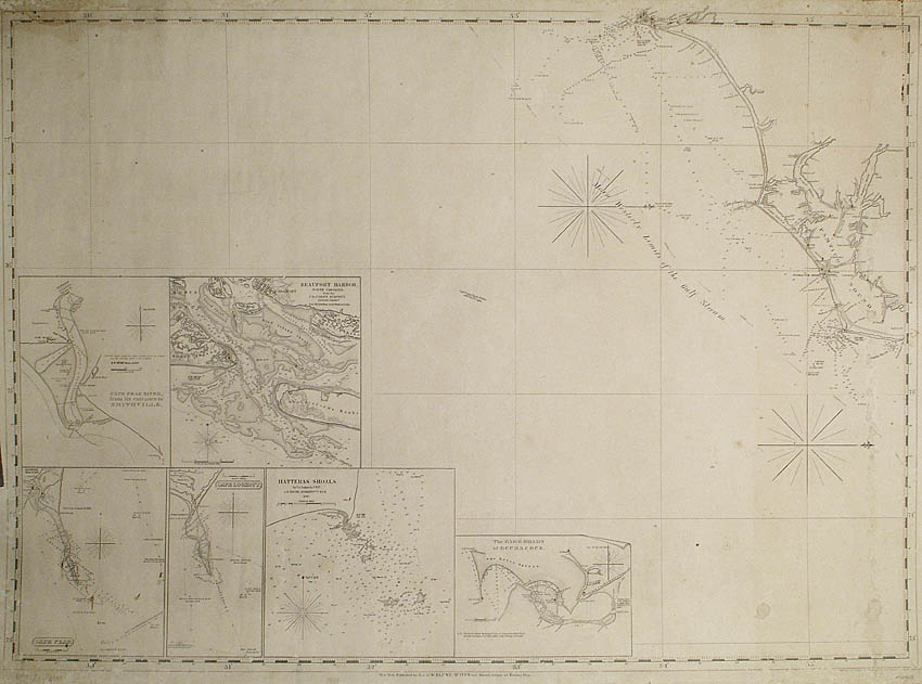
[Coastal Chart from Cape Fear to Cape Hatteras].
[Coastal Chart from Cape Fear to Cape Hatteras].
Stock Code 65051
E. & G.W. Blunt, New York, [c.1850].
Blueback chart, oriented west, extending north to south from Cape Fear to Cape Hatteras, inset charts of Cape Fear River from its entrance to Smithville, Beaufort Harbor, Cape Fear, Cape Lookout, Hatteras Shoals and, Bar & Roads of Occracock.
Couldn't load pickup availability
Provenance
Provenance
Delivery
Delivery
We offer secure and express delivery on all local and international orders of rare books, maps and prints placed through this website.
About us
About us
Shapero Rare Books is an internationally renowned dealer in antiquarian & rare books and works on paper.
Our Bookshop and Gallery can be found in the heart of Mayfair at 94 New Bond Street, where most of our stock is available to view and on public display.
We exhibit at major international art fairs, including TEFAF (Maastricht and New York), Frieze Masters, Art Miami and Masterpiece London, as well as antiquarian & rare book fairs including New York, Paris, London, Los Angeles, San Francisco and Hong Kong.
Ask us a question
Ask us a question


