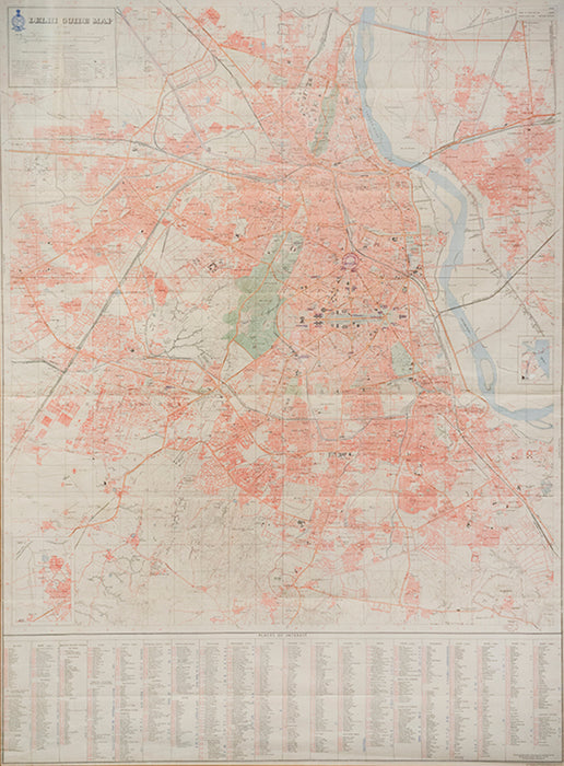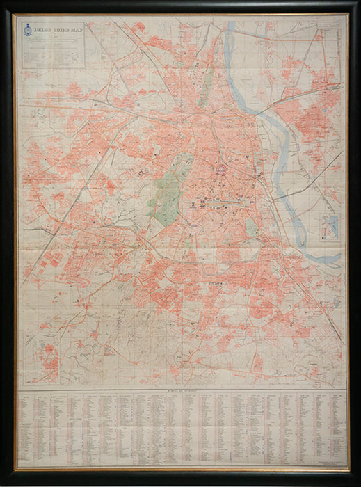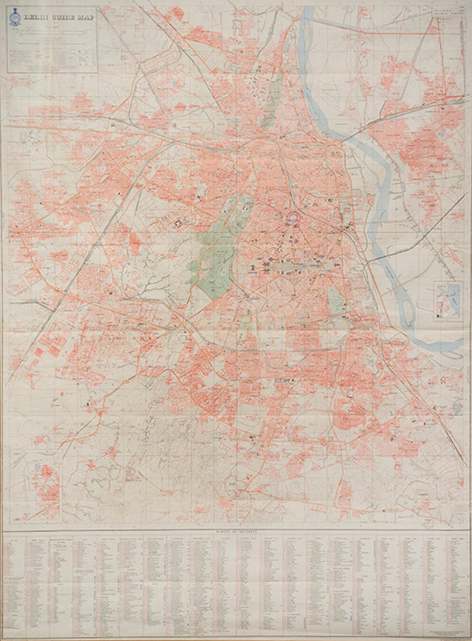
Delhi Guide Map.
Chandigarh, Published under the direction of Brigadier J.A.F. Dalal... Officiating Surveyor General of India, 1969
The map displays a wealth of detail, including roads, railways, historical and archaeological sites of interest, water features, canals, municipal boundaries, post-offices, and contours, with a colour key explaining the symbols and abbreviations used therein, and a table of 'Places of Interest' giving the grid-references for over 300 institutions and localities.
Second edition; colour-printed lithographed plan of Delhi (142 x 102 cm), dissected and laid onto linen as issued, scale 1:20,000; framed and glazed, overall size: 151.5 x 112.5 x 2.5cm.
Provenance
Delivery
We offer secure and express delivery on all local and international orders of rare books, maps and prints placed through this website.


