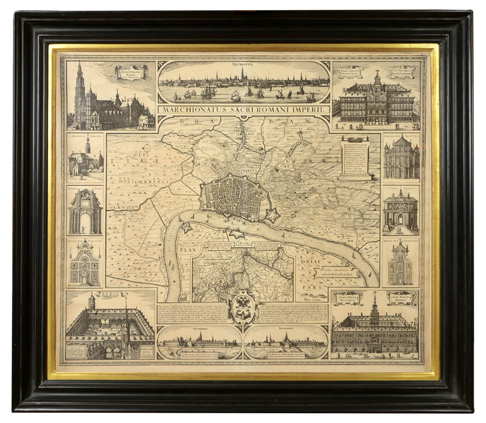
VISSCHER, Claes Jansz.
Antwerp.
Antwerp.
Stock Code 88270
Visscher, Amsterdam, [c. 1630].
The images of the city's grand church facades and port gates, and panoramic view of its busy harbour, evoke Antwerp's splendour and merchantile dominance, whilst the main plan illustrates the city's rich agricultural surroundings. The plan also includes two tables of historical explanations and a single coat of arms, representing the city of Antwerp and the Holy Roman Empire. Inset is a plan of the southern region of Brabant including a view of the Scheldt river.
Double-page engraved plan (46 x 55.5cm). Framed dimensions: 60 x 71cm. Slightly foxed but otherwise an very fine impression.
Campbell 8 u. Taf. IV; Hollstein XXXVIII, 127 mit Abb.; BSB, Kunstwerk 100 u. Abb. 56.
Couldn't load pickup availability
Provenance
Provenance
Delivery
Delivery
We offer secure and express delivery on all local and international orders of rare books, maps and prints placed through this website.
About us
About us
Shapero Rare Books is an internationally renowned dealer in antiquarian & rare books and works on paper.
Our Bookshop and Gallery can be found in the heart of Mayfair at 94 New Bond Street, where most of our stock is available to view and on public display.
We exhibit at major international art fairs, including TEFAF (Maastricht and New York), Frieze Masters, Art Miami and Masterpiece London, as well as antiquarian & rare book fairs including New York, Paris, London, Los Angeles, San Francisco and Hong Kong.
Ask us a question
Ask us a question


