

WYLD, James.
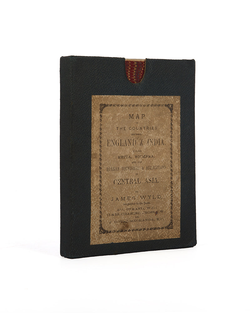
Map of the countries between England and India.
Map of the countries between England and India.
Designed to show the over-land and sea routes to the East. The line of communication with our Indian possessions and the relative position of Russia to England & Hindostan.
Stock Code 122208
London, James Wyld, 1873.
Hand-coloured engraved map, dissected and mounted on linen, extending west to east from Lisbon to Islamabad and north to south from Scotland to Ceylon, inset 'sketch' map of England to China; original green cloth slip case, with printed publisher's label. Dimensions: 67 × 89 cm.
BLMC Maps 197.b.32.
Couldn't load pickup availability
Provenance
Provenance
Delivery
Delivery
We offer secure and express delivery on all local and international orders of rare books, maps and prints placed through this website.
About us
About us
Shapero Rare Books is an internationally renowned dealer in antiquarian & rare books and works on paper.
Our Bookshop and Gallery can be found in the heart of Mayfair at 94 New Bond Street, where most of our stock is available to view and on public display.
We exhibit at major international art fairs, including TEFAF (Maastricht and New York), Frieze Masters, Art Miami and Masterpiece London, as well as antiquarian & rare book fairs including New York, Paris, London, Los Angeles, San Francisco and Hong Kong.
Ask us a question
Ask us a question


FURTHER READING
View all-

I Explore Therefore I Am
It is strange then that no attention was paid to the accounts of the great epic voyages by the Private Press movement started by William Morris at the dawn of...
Travel & ExplorationI Explore Therefore I Am
The Argonaut PressIt is strange then that no attention was paid to the accounts of the great epic voyages by the Private Press movement started by William Morris at the dawn of...
-

Footprints Across Central Asia | Stein & Hedin
Stein and Hedin were among the great travellers who made significant scientific contributions to Western knowledge of Central Asia, at a time where the area was little explored but hugely...
Travel & ExplorationFootprints Across Central Asia | Stein & Hedin
Explorations in the Early 20th CenturyStein and Hedin were among the great travellers who made significant scientific contributions to Western knowledge of Central Asia, at a time where the area was little explored but hugely...
-

Crossing the Wine-Dark Sea
The epic tale of ancient myths, monsters, and heroes, sung over 2500 years ago by bards in ancient halls, is still being told today. Discover how The Odyssey has been passed down...
LiteratureCrossing the Wine-Dark Sea
Retelling Homer's 'Odyssey'The epic tale of ancient myths, monsters, and heroes, sung over 2500 years ago by bards in ancient halls, is still being told today. Discover how The Odyssey has been passed down...


