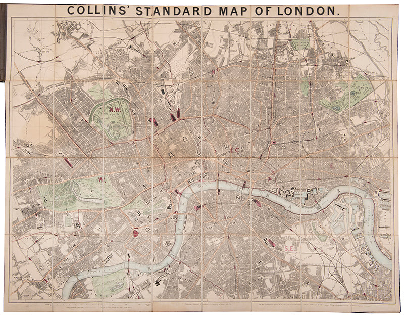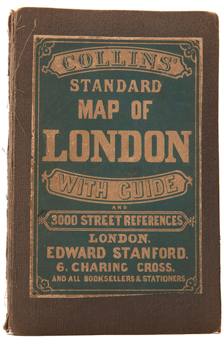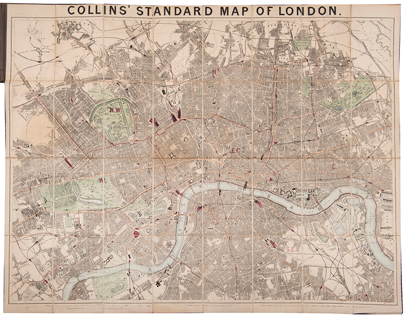
Collins' Standard Map of London
with guide and 3000 street references.
London, Edward Stanford, 1873
Stanford (1827-1904) acquired the rights to the design after the original publisher, Henry George Collins, became bankrupt in 1857. This edition of 1873 shows a railway line under construction which would have run from South Kensington to the Royal Albert Hall. This was never completed as intended, with the tunnel instead forming the pedestrian subway which runs from the underground stop to Exhibition Road.
Lithographed map of London (67 x 86 cm), dissected into 36 parts and laid onto linen as issued, contemporary hand-colouring, folding with yellow typographic endpaper into original black cloth case, publisher's label to upper cover, map slightly toned, spine of case a little frayed, otherwise very good.
Hyde 56(12).
Provenance
Delivery
We offer secure and express delivery on all local and international orders of rare books, maps and prints placed through this website.


