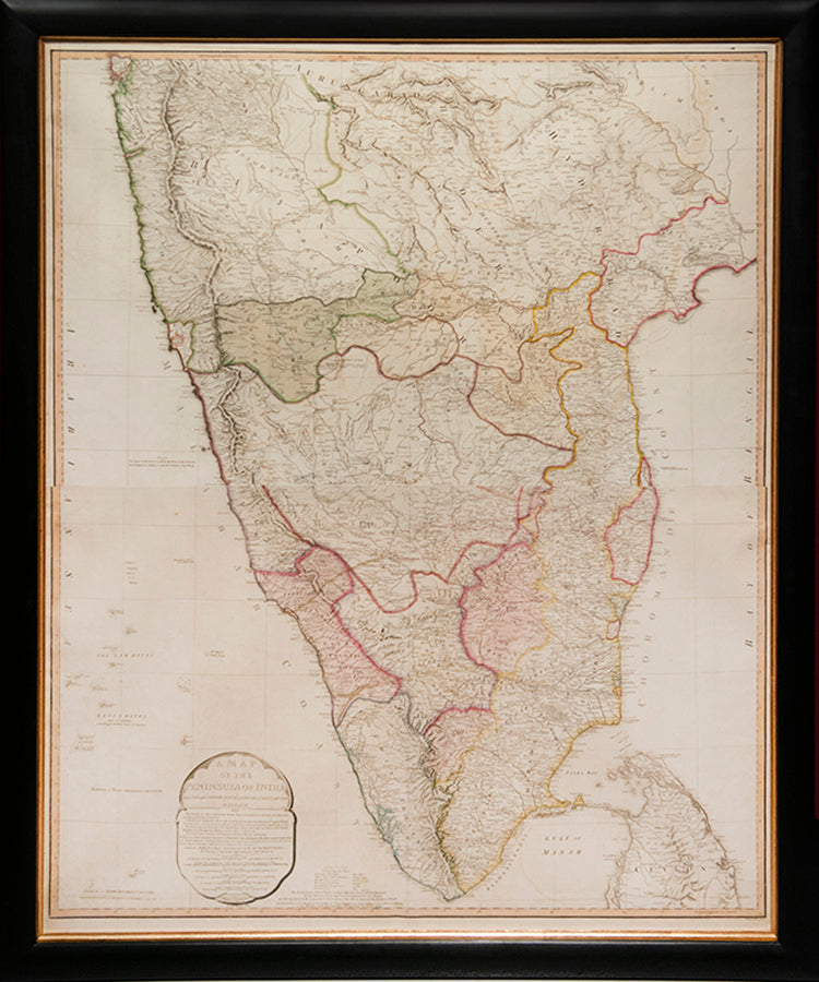
FADEN, William (engraver).
A Map of the Peninsular of India
A Map of the Peninsular of India
from the 19th degree north latitude to Cape Comorin.
Stock Code 109424
London, Printed for W. Faden Geographer to the King and to the Prince of Wales, 1800.
The map was first published in 1792 following the successful conclusion of the Third Anglo-Mysore War and the Treaty of Seringapatam, which ceded over half of Tipu Sultan's lands to Britain and her princely-state allies. This the second edition, shows the outcome of the Fourth and final Anglo-Mysore War, which brought the kingdom's independence to an end in 1799.
William Faden (1749-1836) served as geographer to George III and George IV. 'A gold-medalist of the (Royal) Society of Arts in 1796, he assembled an unrivalled stock of the large-scale maps of the British counties, and became a logical commercial partner for the Ordnance Survey — Faden publishing the first published OS map in 1801. Some of his plates were later acquired by the Admiralty and re-issued as official Admiralty charts. He retired in 1823, the business passing to his former apprentice James Wyld' (BME).
Second edition; engraved map with hand colouring on two conjoined sheets (102 x 82 cm), framed and glazed, overall size: 111 by 93 cm by 2.5cm
Couldn't load pickup availability
Provenance
Provenance
Delivery
Delivery
We offer secure and express delivery on all local and international orders of rare books, maps and prints placed through this website.
About us
About us
Shapero Rare Books is an internationally renowned dealer in antiquarian & rare books and works on paper.
Our Bookshop and Gallery can be found in the heart of Mayfair at 94 New Bond Street, where most of our stock is available to view and on public display.
We exhibit at major international art fairs, including TEFAF (Maastricht and New York), Frieze Masters, Art Miami and Masterpiece London, as well as antiquarian & rare book fairs including New York, Paris, London, Los Angeles, San Francisco and Hong Kong.
Ask us a question
Ask us a question


