FADEN, William.
A New Topographical Map of the Country in the Vicinity of London,
A New Topographical Map of the Country in the Vicinity of London,
Describing all the New Improvements. Drawn from a Scale of two Inches to a Statute Mile.
Stock Code 110075
London, W. Faden, Geographer to His Majesty and to His Royal Highness the Prince of Wales, 1815.
London and its environs
An interesting snapshot of London and its environs in the pre-industrial age, extending from Edmonton in the north to Beckenham in the south, and from Chiswick in the west to Plumstead in the east. In addition to the usual hand colouring highlighting county limits, the major road networks in and out of the city have also been coloured red. Finely engraved with topographical details.William Faden (1749-1836) served as geographer to George III and George IV. 'A gold-medalist of the (Royal) Society of Arts in 1796, he assembled an unrivalled stock of the large-scale maps of the British counties, and became a logical commercial partner for the Ordnance Survey — Faden publishing the first published OS map in 1801. Some of his plates were later acquired by the Admiralty and re-issued as official Admiralty charts. He retired in 1823, the business passing to his former apprentice James Wyld' (BME).
Scarce. COPAC and OCLC record no copies in institutional collections outside of the British Library.
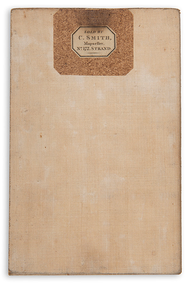
Second edition; (840 x 830 mm); engraved map dissected into 24 parts and laid onto linen as issued, original hand colouring, lightly toned, minor offsetting to margins, old mapseller's label for C. Smith to verso; housed in brown paper slipcase with printed label 'Environs of London', case inscribed in pen 'North to Mill Hill - Colney Hotel - Edmonton - Chingford - Woodford - Chigwell. 1810'.
Howgego 250(2); BLMC 3479.(29).
Couldn't load pickup availability
Provenance
Provenance
Delivery
Delivery
We offer secure and express delivery on all local and international orders of rare books, maps and prints placed through this website.
About us
About us
Shapero Rare Books is an internationally renowned dealer in antiquarian & rare books and works on paper.
Our Bookshop and Gallery can be found in the heart of Mayfair at 94 New Bond Street, where most of our stock is available to view and on public display.
We exhibit at major international art fairs, including TEFAF (Maastricht and New York), Frieze Masters, Art Miami and Masterpiece London, as well as antiquarian & rare book fairs including New York, Paris, London, Los Angeles, San Francisco and Hong Kong.
Ask us a question
Ask us a question


