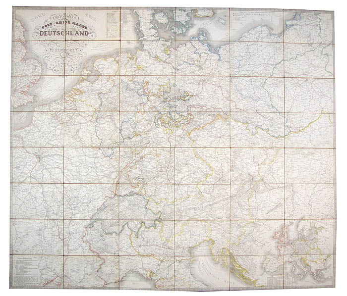
JUGEL, Carl [and] HENDSCHEL, U[lrich].
Carl Jugel's Post- u. Reise-Karte von Deutschland
Carl Jugel's Post- u. Reise-Karte von Deutschland
und den Nachbar-Staaten, bis London, Paris, Montpellier, Florenz, Warschau, Kopenhagen... Bearbeitet von U. Hendschel... und unter dessen Leitung gezeichnet u. gestochen von Jos. Back & Sauter.
Stock Code 53704
Back u. Sauter, Frankfurt a/M, [?1850]
Engraved map, hand-coloured in outline, dissected and mounted on linen, extending west to east from London to Warsaw and north to south from Copenhagen to Florence, cartouche upper left, inset road map of Europe lower right, table of European postal rates, and distances and times between cities pasted to verso, publisher's label and key to map pasted to endpapers; Dimensions: 1070 x 1245mm. (42 x 49 inches).
BLMC Maps 26945.(27.).
Couldn't load pickup availability
Provenance
Provenance
Delivery
Delivery
We offer secure and express delivery on all local and international orders of rare books, maps and prints placed through this website.
About us
About us
Shapero Rare Books is an internationally renowned dealer in antiquarian & rare books and works on paper.
Our Bookshop and Gallery can be found in the heart of Mayfair at 94 New Bond Street, where most of our stock is available to view and on public display.
We exhibit at major international art fairs, including TEFAF (Maastricht and New York), Frieze Masters, Art Miami and Masterpiece London, as well as antiquarian & rare book fairs including New York, Paris, London, Los Angeles, San Francisco and Hong Kong.
Ask us a question
Ask us a question


