WHITBREAD, Josiah.
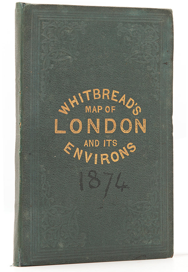
Whitbread's Map of London and its Environs.
Whitbread's Map of London and its Environs.
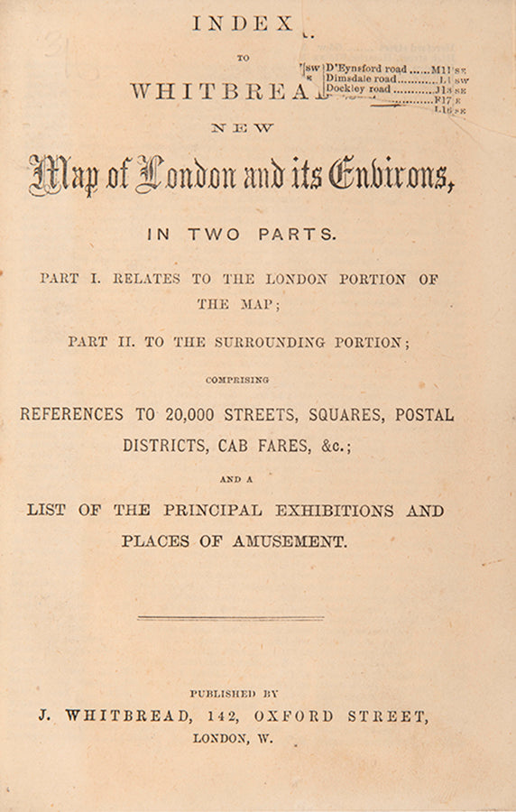
[with] Index... comprising references to 20,000 streets, squares, postal districts, cab fares, &c.; and a list of the principal exhibitions and place of amusement.
Stock Code 110447
London, J. Whitebread, 1874
With original hand-colouring showing the division of the metropolis into postal areas, and a companion index providing references to 20,000 streets, squares, postal district, cab fares, principal exhibitions and places of amusement.
Engraved map of London (110 x 92 cm), dissected into 48 parts and laid onto linen as issued, original hand-colouring, with tears at the gutter margin, extremities of map slightly frayed. Framed and glazed, overall size: 116cm x 98cm x 3cm.
Couldn't load pickup availability
Provenance
Provenance
Delivery
Delivery
We offer secure and express delivery on all local and international orders of rare books, maps and prints placed through this website.
About us
About us
Shapero Rare Books is an internationally renowned dealer in antiquarian & rare books and works on paper.
Our Bookshop and Gallery can be found in the heart of Mayfair at 94 New Bond Street, where most of our stock is available to view and on public display.
We exhibit at major international art fairs, including TEFAF (Maastricht and New York), Frieze Masters, Art Miami and Masterpiece London, as well as antiquarian & rare book fairs including New York, Paris, London, Los Angeles, San Francisco and Hong Kong.


